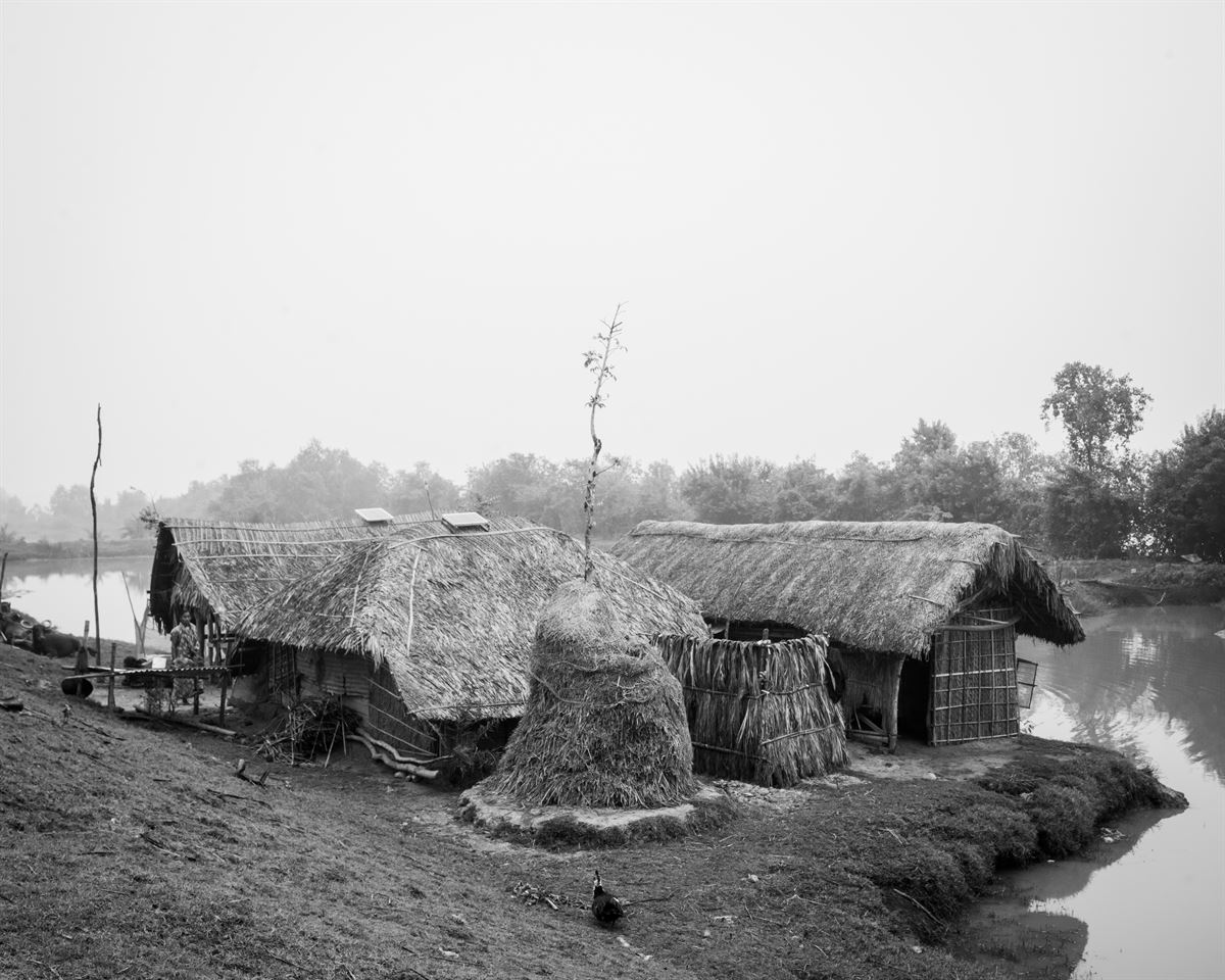
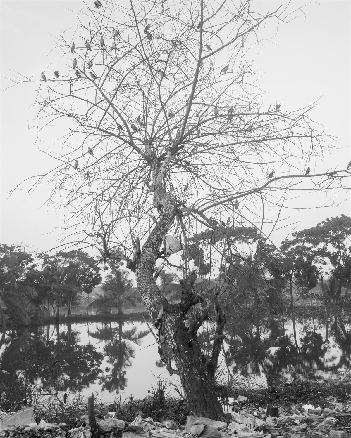
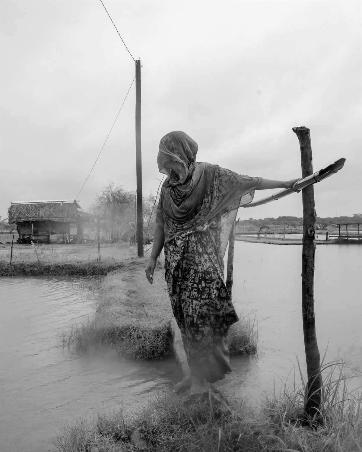
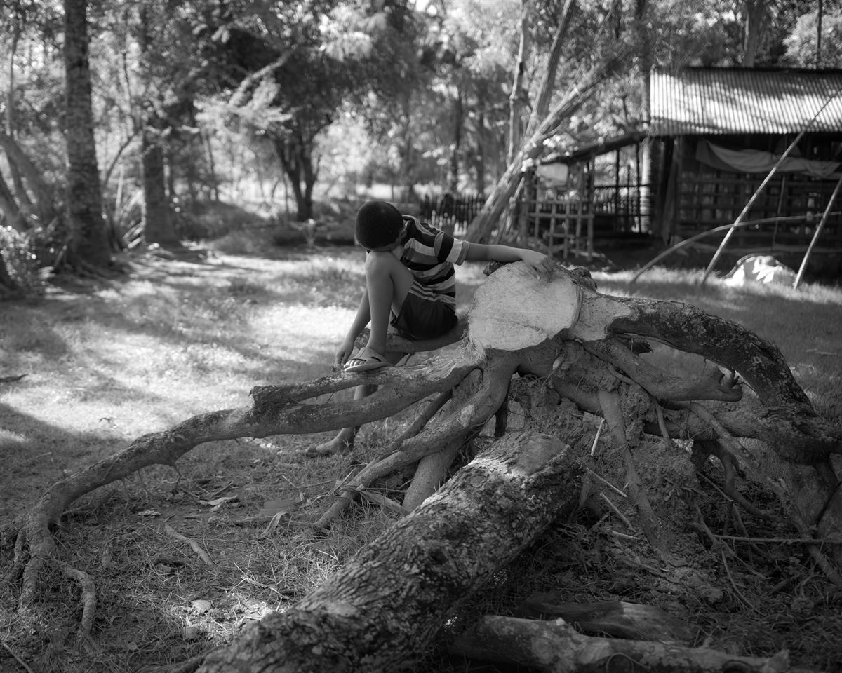
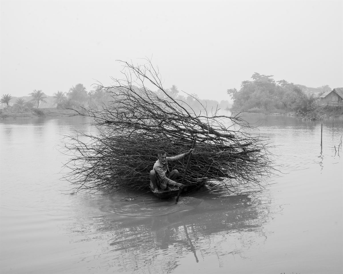
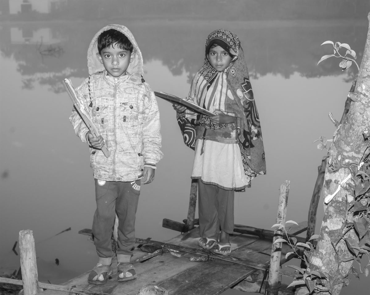
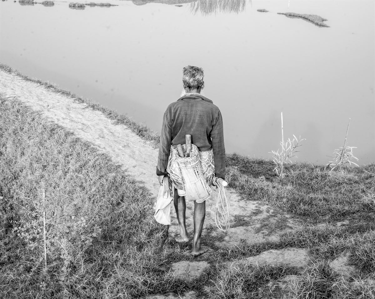
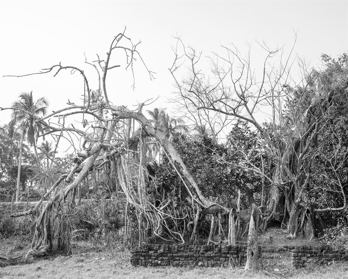
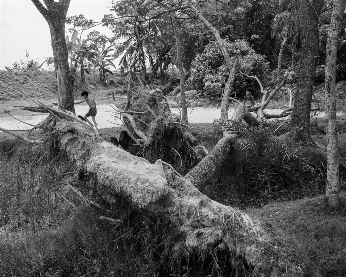
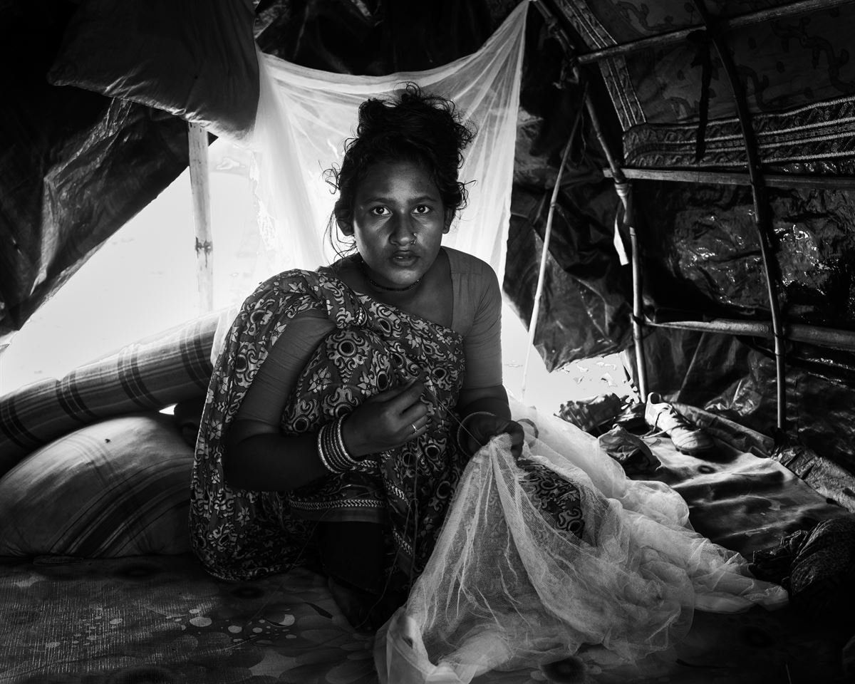
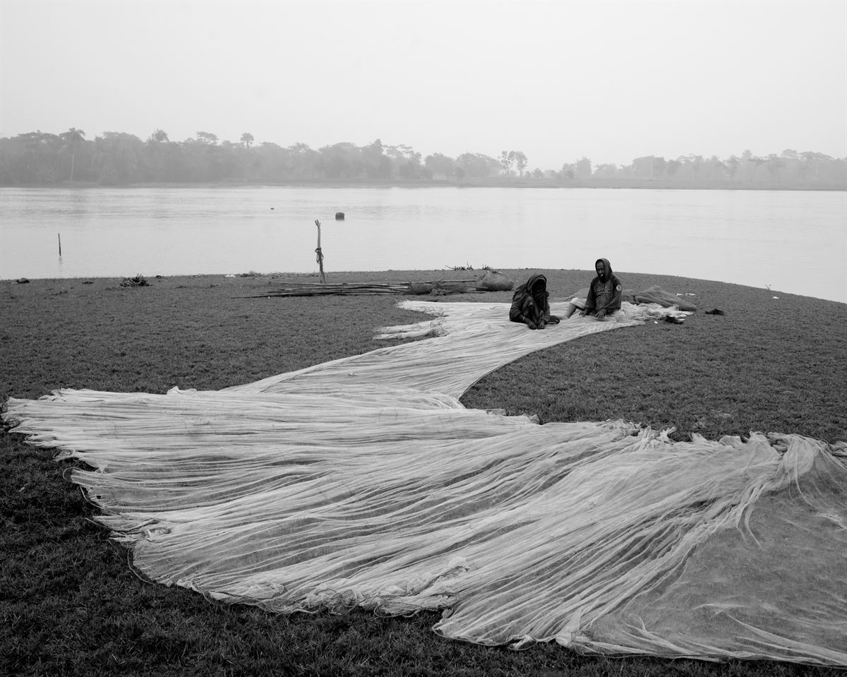
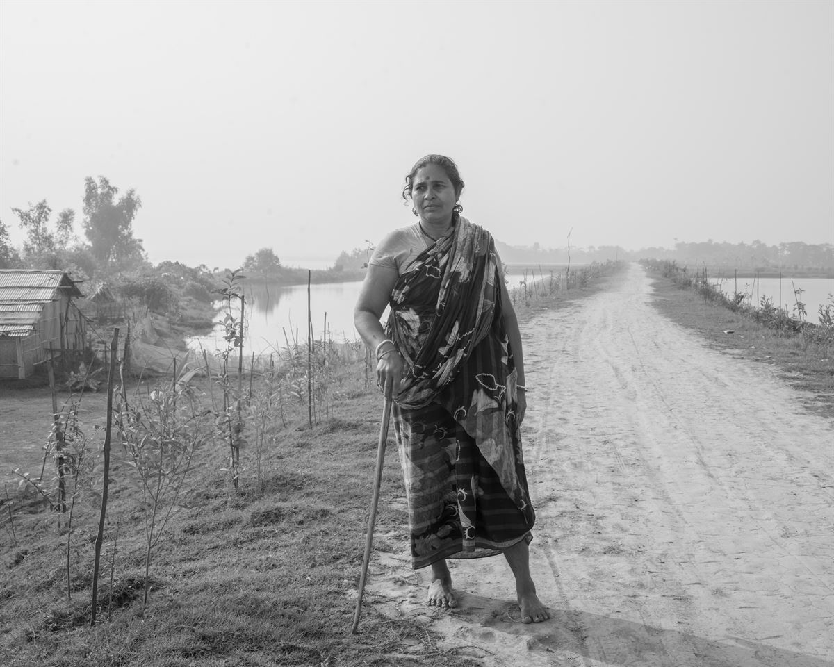
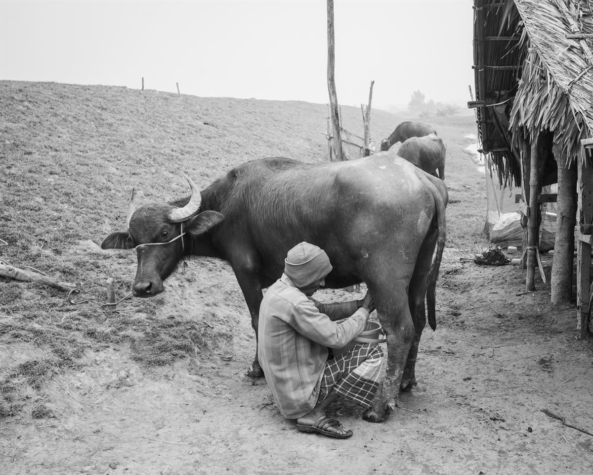
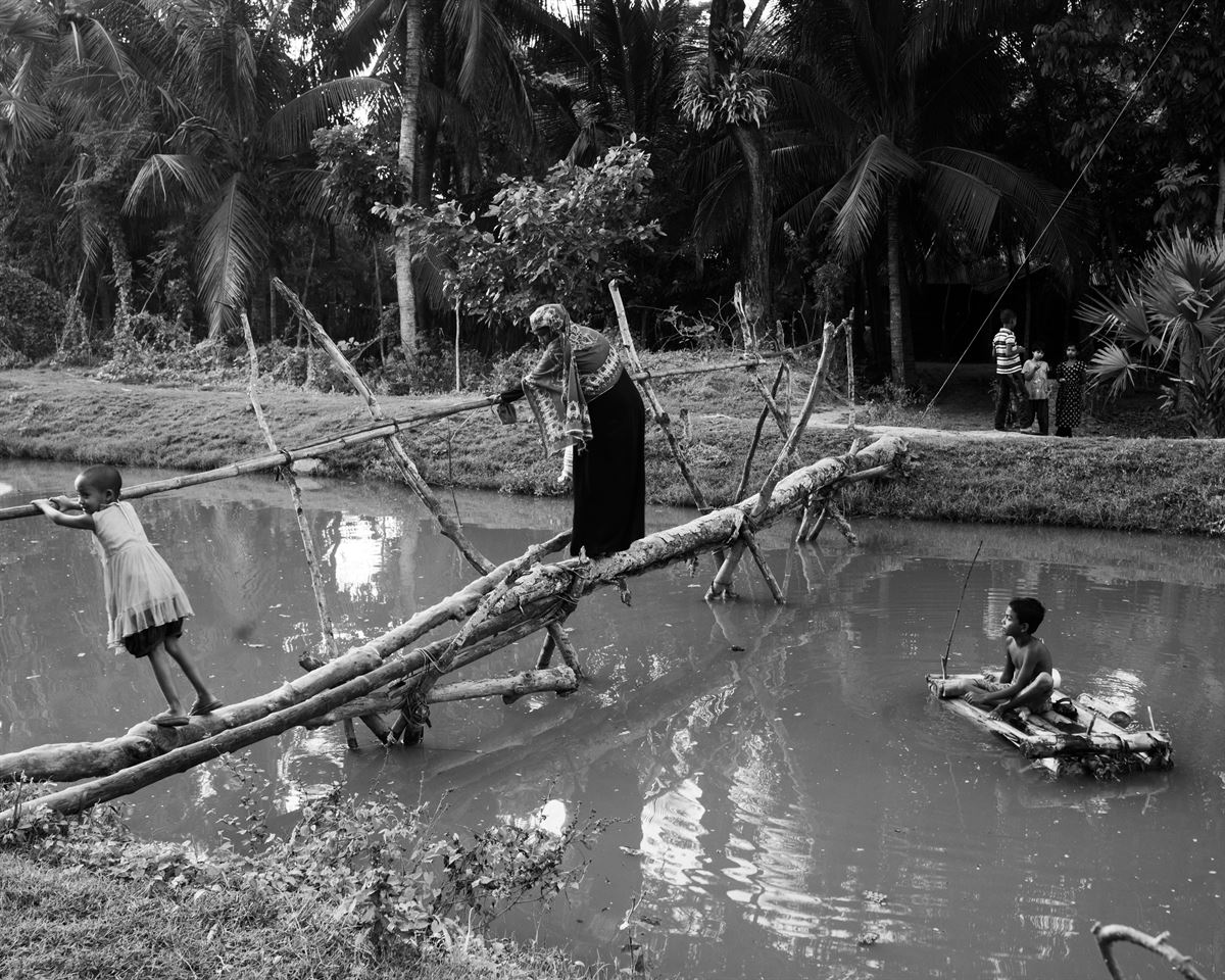
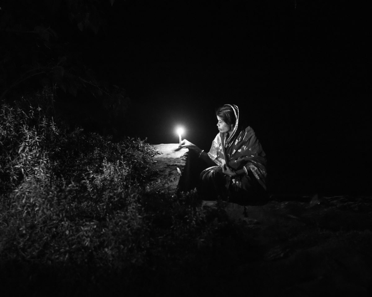
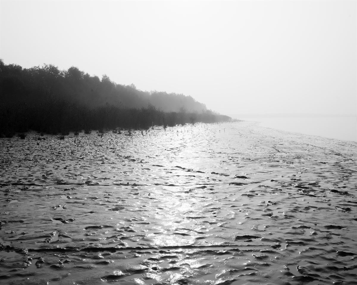
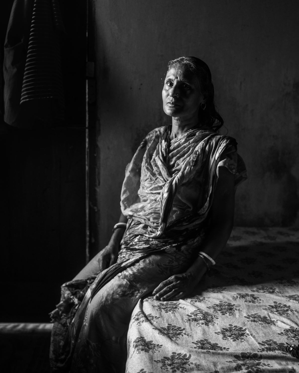
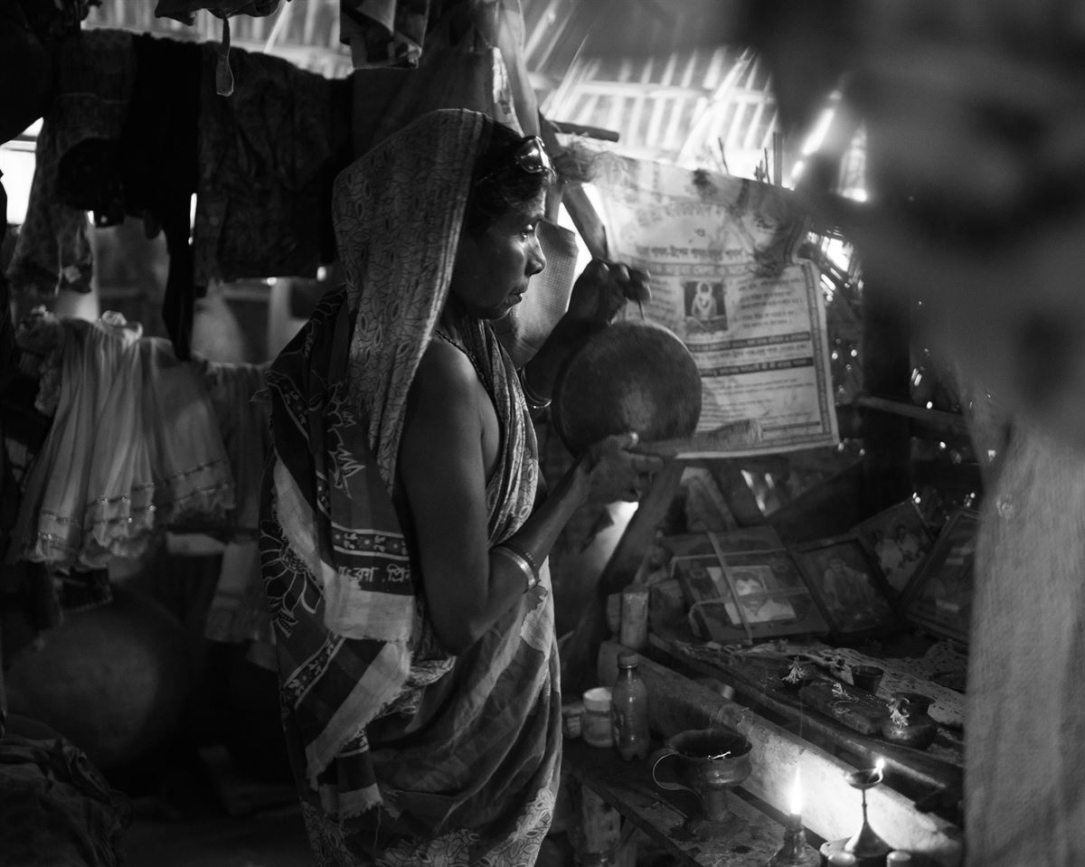
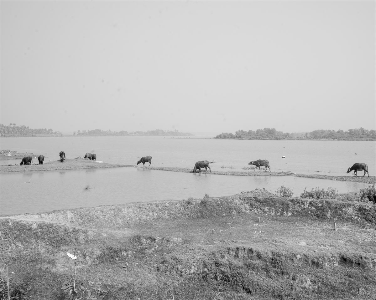
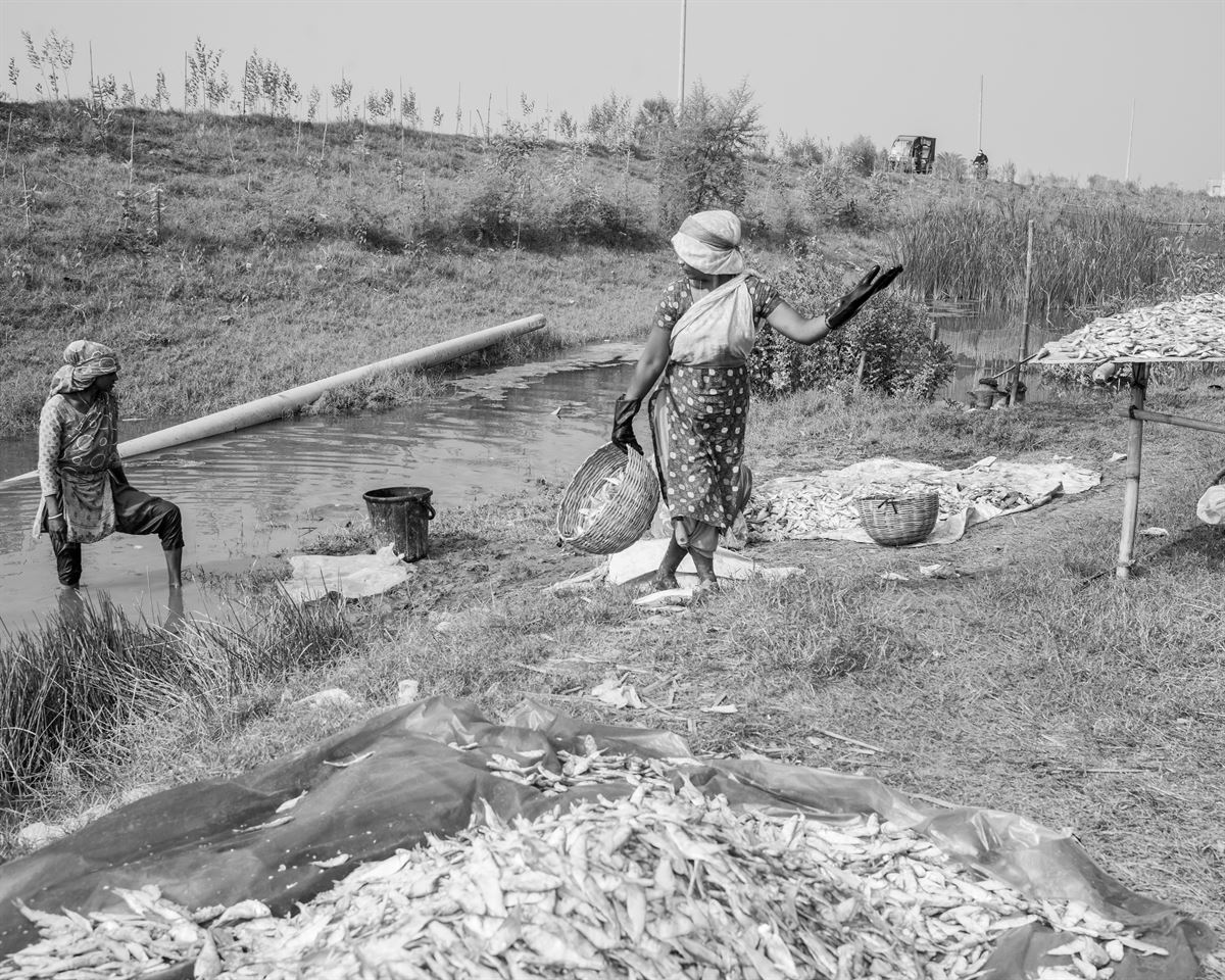
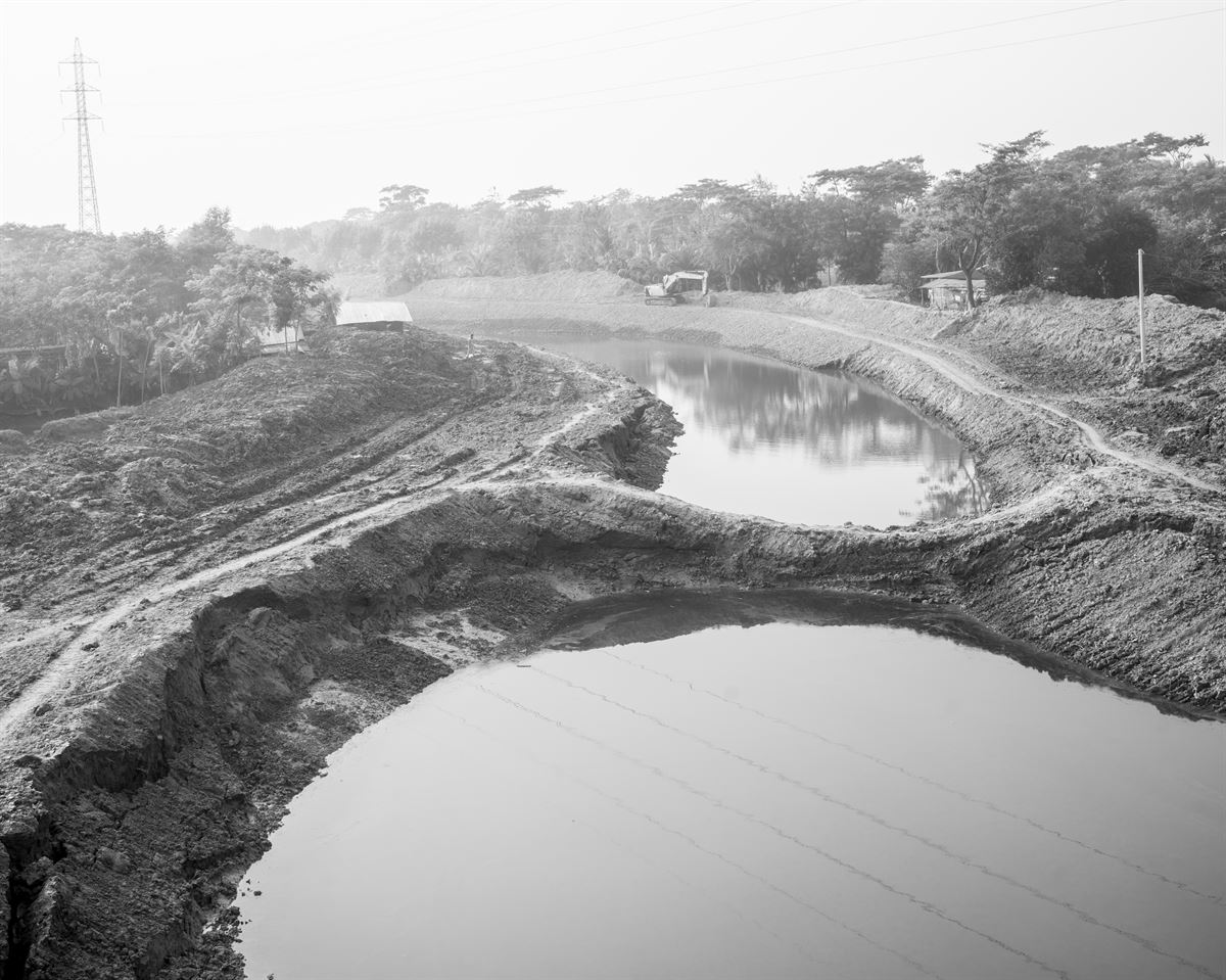
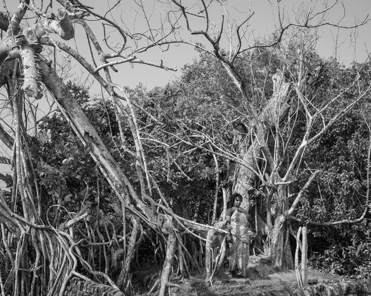
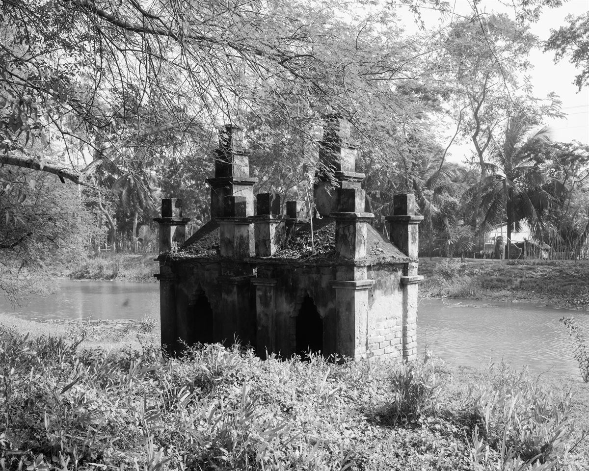
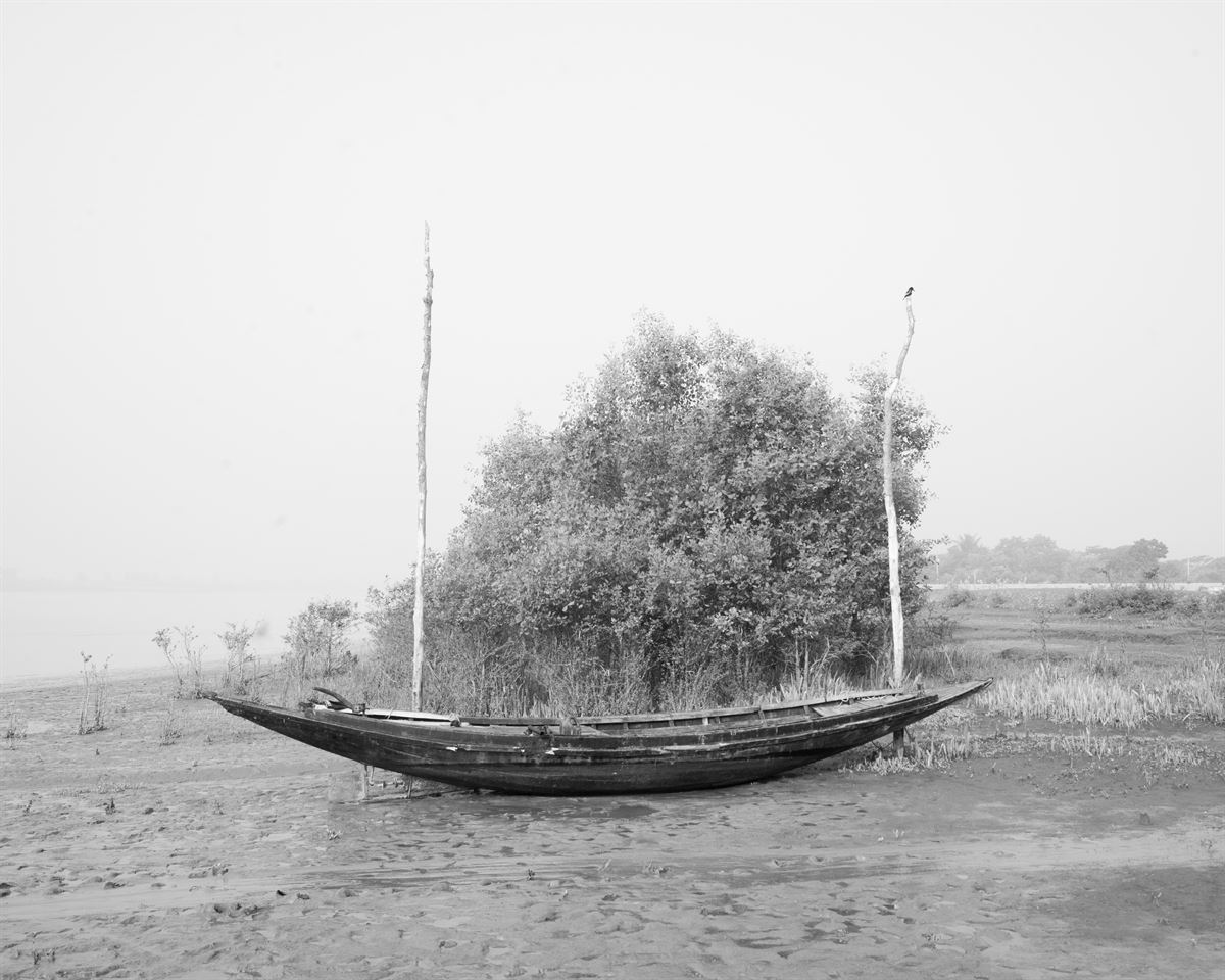
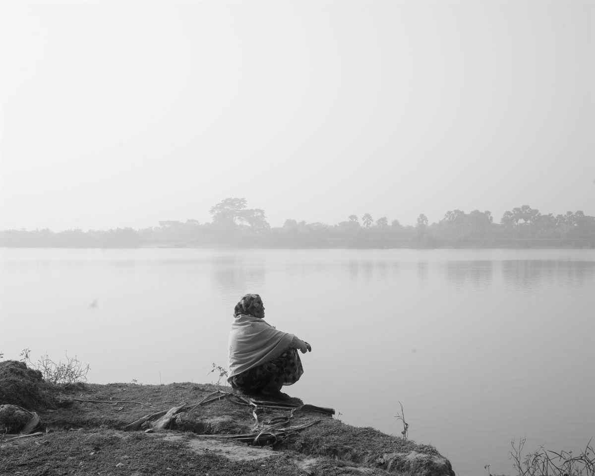
I belong from the south-western region of Bangladesh, a low-lying coastal area, the place where the largest mangrove forest of the world, Sundarban exists. Located at the confluence of Brahmaputra River and the river Ganges, the villages are surrounded by an intersecting network of rivers and expansive delta with a highly diverse species of trees, plants and climbers. People share a life-long relationship with water, nature and forest from the day they have been born.
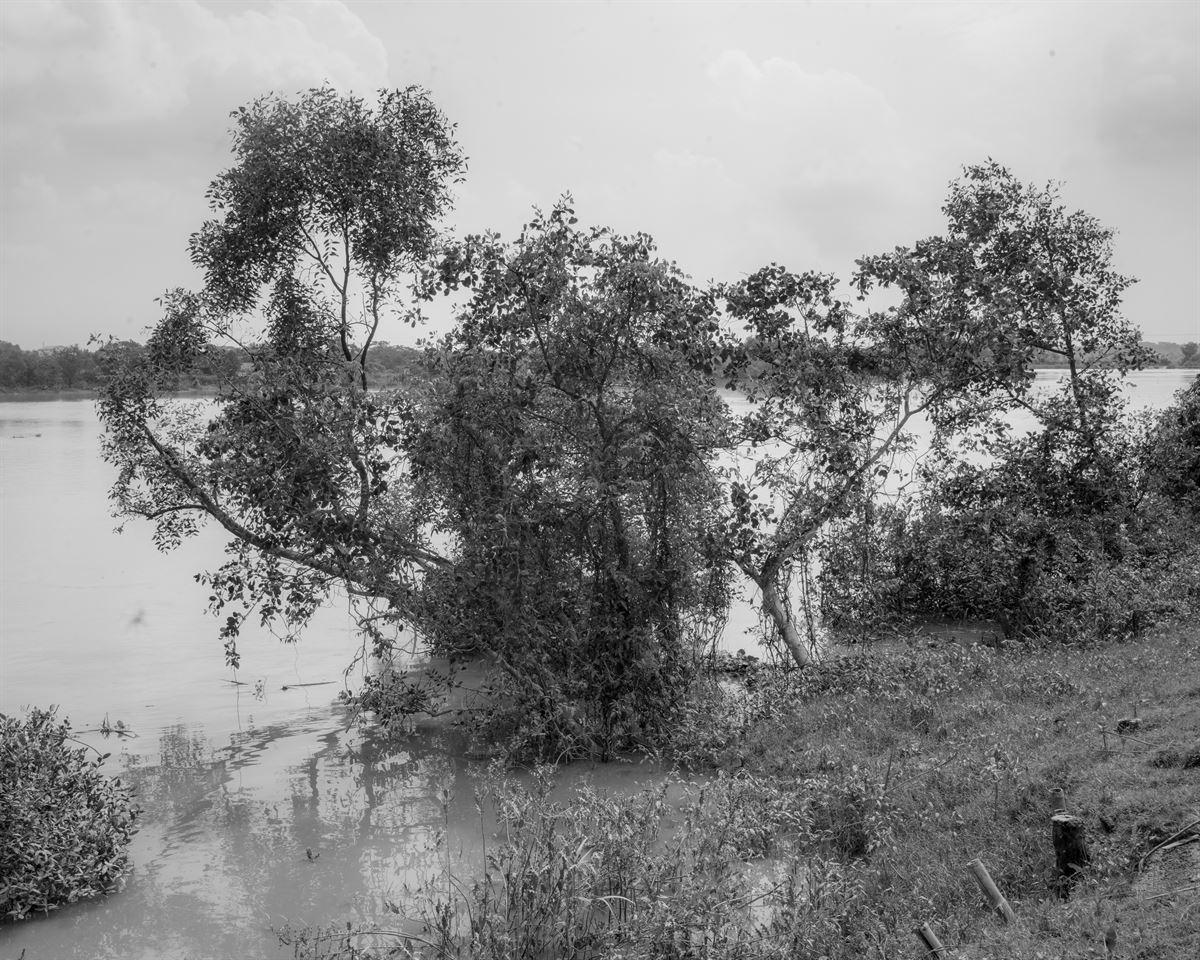
In this part of the country global warming is increasing the severity and frequency of cyclones, storms, droughts and floods. Rising sea levels mean that low-lying coastal areas of Bangladesh are at the risk of disappearing altogether. Relative sea level rise in Bangladesh is greater than any other country, due to simultaneous submergence of low coastal areas. As climate change is having an immediate impact on the everyday lives of the people throughout the country, extreme rainfall over Bangladesh’s coastal region is increasing, while silt-heavy runoff from glaciers in the Himalaya Mountains upstream is leading to more flood and riverbank erosion.
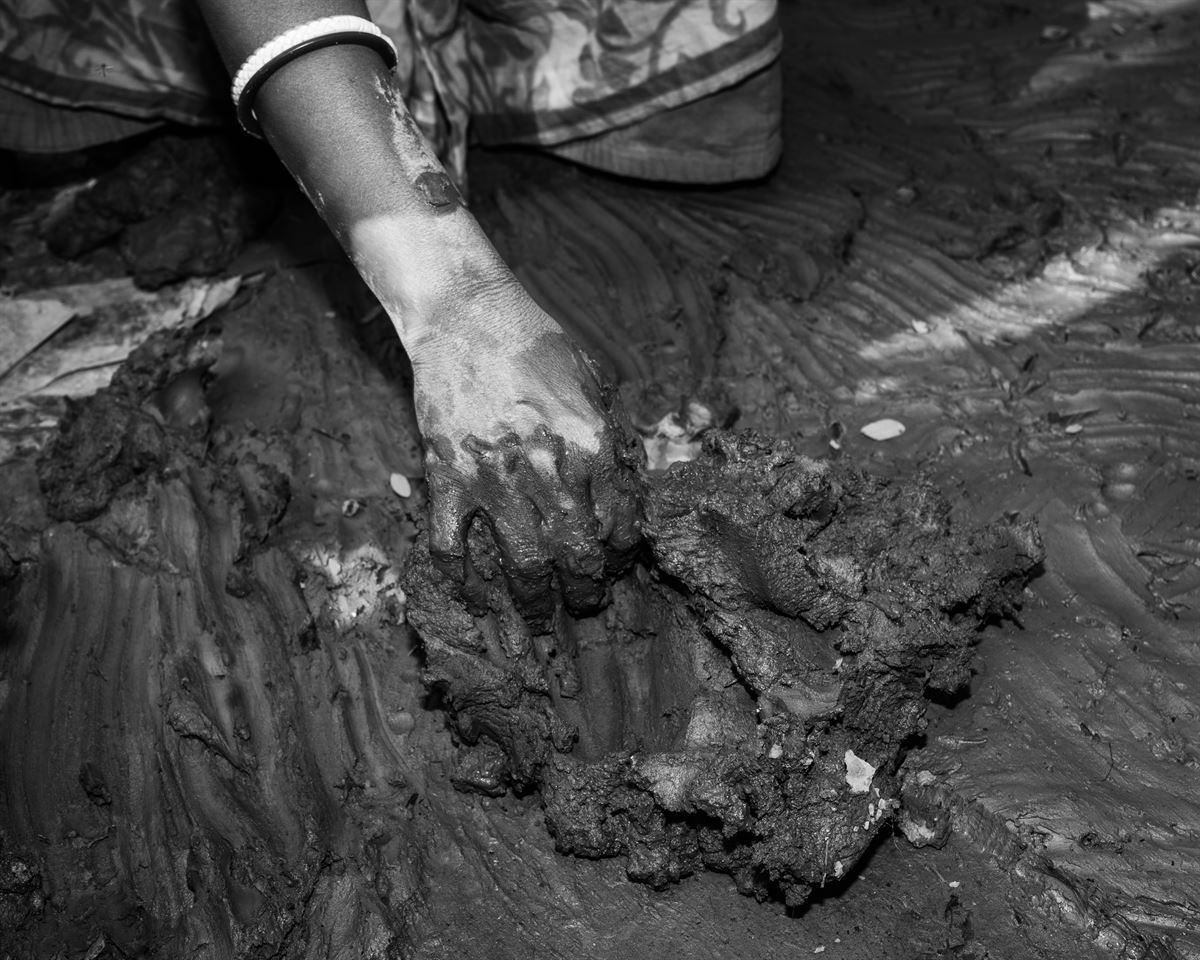
Environmental Advocates say this creeping salinity is having a huge impact on the environment around Bagerhat district, including a decline in crop yields like seasonal vegetables and stunting coconut and betel plant. Climate experts predict that by 2050, rising sea levels will submerge some 17 percent of Bangladesh’s land, and 25 percent land of Bagerhat district will be submerged.
Yet people are persistently combating this crisis and fighting to exist.